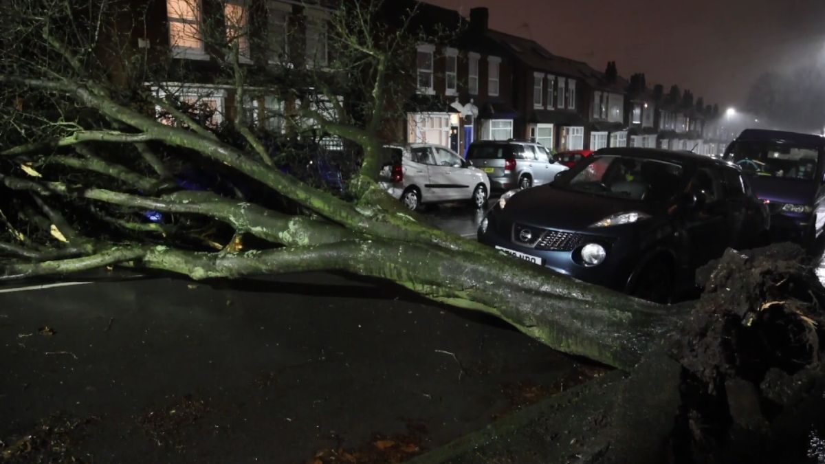
Storm Jocelyn is set to follow closely on the heels of Storm Isha, marking the continuation of the most active storm season in the UK and Ireland on record, according to meteorologists.
The Irish meteorological service, Met Éireann, has officially named the approaching weather disturbance Storm Jocelyn. Forecasters anticipate that this storm will usher in strong winds and heavy rainfall across the UK on Tuesday and persisting into Wednesday.
Read also: £280 payment for UK seniors as temperatures drop below 0C
The storm season commenced with the arrival of Storm Agnes, making its presence felt with substantial rainfall and gusts reaching speeds of 70mph in the UK back in late September. Following Agnes, a succession of storms, namely Babet, Ciarán, Debi, Elin, Fergus, Gerrit, Henk, and Isha, have contributed to what is now the most active storm season in the recorded history of the UK and Ireland.
As meteorologists keep a close eye on the evolving weather patterns, the naming and tracking of storms contribute to public awareness and preparedness, allowing authorities and individuals to take appropriate measures to mitigate potential risks associated with severe weather events.
Read also: Germany eases naturalization laws to welcome skilled international workers
The imminent arrival of Storm Jocelyn marks the occurrence of the second named storm within a remarkably brief 36-hour timeframe. Liz Bentley, the Chief Executive of the Royal Meteorological Society, notes that while such a rapid succession of named storms may seem striking, it is not an unusual occurrence in itself. The naming of storms and their close succession serves as a testament to the dynamic and swiftly changing nature of weather patterns, a phenomenon regularly observed in meteorological systems. Bentley’s insight underscores the inherent variability and unpredictability that characterizes the behavior of storms in the atmospheric domain.
“But it is unusual to have had so many named storms by now,” she said. “Jocelyn will be the tenth named storm since the autumn/winter storm season started. We’ve not got that far into the alphabet in January (before) so it is unusual to have seen such an active run.”
The surge in the number of storms this year raises questions about its connection to climate change, prompting a closer examination of the underlying factors. According to Liz Bentley, the Chief Executive of the Royal Meteorological Society, the primary reason for the heightened storm activity lies in the behavior of the jet stream.
Read also: Huge £13 billion rail project to connect Europe and Africa
Bentley explains that the jet stream, a robust band of wind located at around 30,000 feet in the Earth’s atmosphere, plays a pivotal role. When the jet stream is active, it fosters the development of low-pressure systems, propelling them across the Atlantic towards the UK, contributing to the unsettled weather conditions experienced.
The activity of the jet stream is influenced by various factors, and Bentley points to a recent occurrence in the United States to illustrate. The significant cold weather extending all the way down to Texas has led to a plunge of cold air moving further south. This, in turn, has heightened the temperature difference between the northern and southern regions, causing the temperature gradient to increase. The acceleration of the jet stream is a direct consequence of this heightened temperature contrast.
While climate change is a contributing factor to the increase of storm frequency, understanding its precise effects on this year’s abundance of storms remains a complex challenge. Bentley emphasizes the importance of gaining a deeper understanding of the intricate interplay between climate change and the observed surge in storm activity. Experts acknowledge the necessity of ongoing research to unravel the specific impacts of climate change on storm patterns, underscoring the significance of increased awareness and knowledge in addressing the evolving dynamics of our planet’s climate.
Liz Bentley, Chief Executive of the Royal Meteorological Society, emphasizes that while there isn’t a clear signal indicating that climate change is directly causing more extreme storms in the UK, there is some evidence, albeit inconclusive. The notable impact of climate change, Bentley notes, is observed in the atmosphere’s increased capacity to hold moisture due to a warmer climate. Consequently, when storms do occur, the rainfall tends to be more intense. The cumulative effect of successive storms can lead to widespread flooding, a concern that underscores the importance of understanding the broader implications of climate change on weather patterns.
The practice of naming storms in the UK and Ireland began in 2015 as a means to enhance communication about high-impact weather events. Bentley highlights the lack of an apparent trend in storm frequency, citing the variability observed over the years. For instance, the storm count in the 2015-16 season reached 11.
